In 2026, Route 66 turns 100. For Santa Monica, the centennial is a chance to explore how a highway linking Chicago and Los Angeles came to be associated with the Pacific coast, and what it means to call this city the “End of the Trail.”
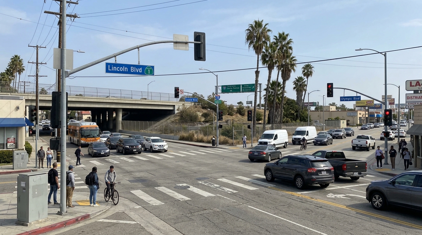
The story involves two places that are easy to confuse. The historic highway’s official Santa Monica terminus was at Lincoln and Olympic Boulevards. The much-photographed sign at the Pier is a symbolic marker, installed decades later. Knowing the difference connects a transportation route with the memories and traditions that grew around it.
A highway assembled from many roads
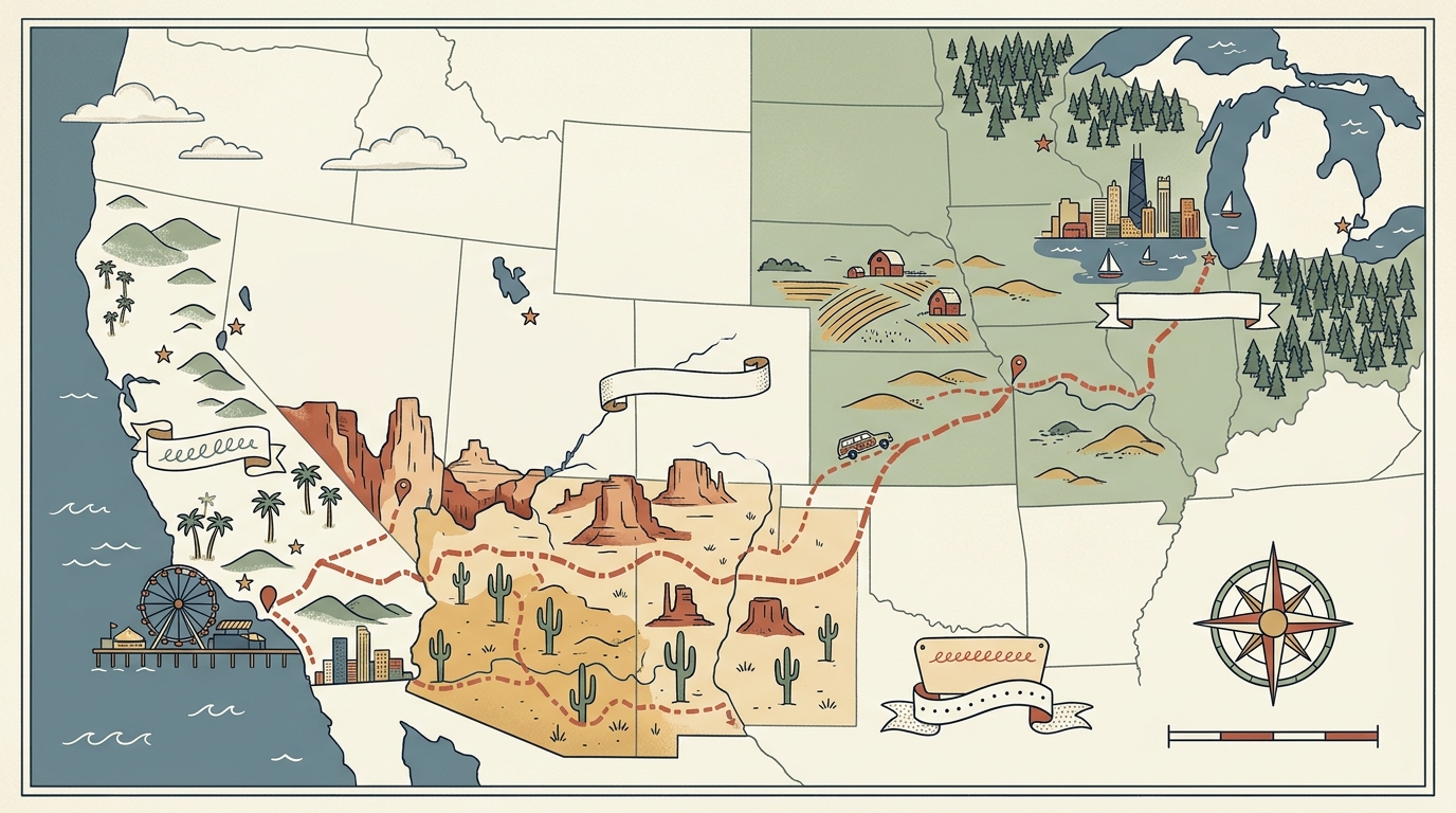
Route 66 received its official designation in 1926 as part of the first federal highway system. It was not a new road built all at once. Instead, it brought existing local, state, and national roads together into a numbered route. Stretching roughly 2,400 miles across eight states, it connected Chicago with the Los Angeles area and passed through communities that depended on roads for travel and trade.
This networked beginning matters when telling the story of Route 66 in Santa Monica. Highways change: routes are redirected, road names shift, and sections become parts of other streets. A map showing Route 66 is a snapshot of an alignment at a particular moment, not proof that every part of today’s road looks as it did a century ago. The National Park Service’s Route 66 overview describes the highway’s origins and its place in American life.
Santa Monica was not the original western endpoint. Route 66 first reached Los Angeles. In the mid-1930s, its official end was extended west to Santa Monica, placing the city at the highway’s final end. Santa Monica Travel & Tourism recounts this connection in its centennial history of Route 66.
Why the route reached the Pacific
A road ending at the ocean makes an appealing travel story: a journey across the country arriving at the coast. But the historic endpoint was not the shoreline. It was a street intersection within a larger road network. California’s Route 66 guide identifies Lincoln and Olympic Boulevards as the Santa Monica terminus, where U.S. 66 joined another highway route.
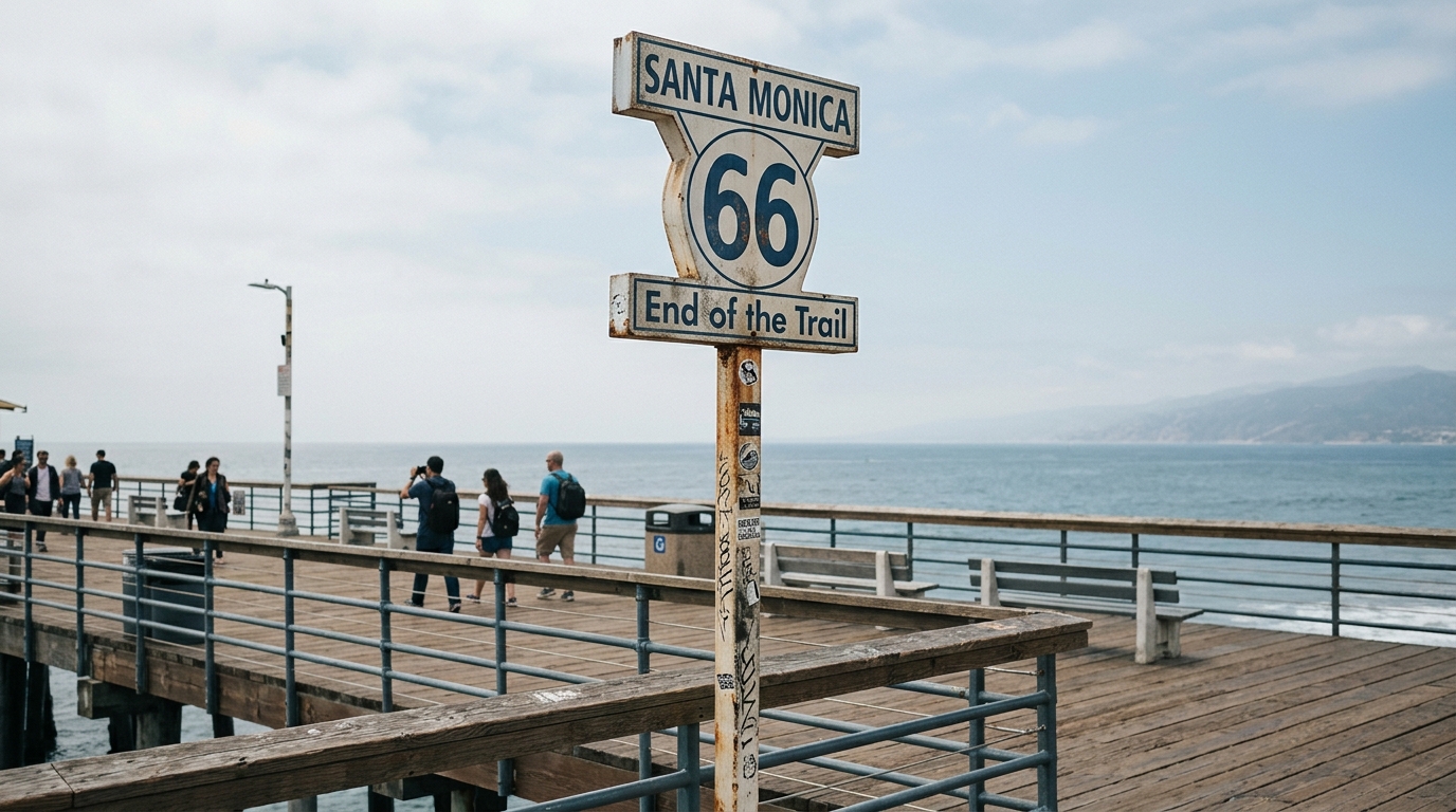
This helps explain why accounts of Route 66’s end can seem inconsistent. Some point to the intersection where the numbered highway officially terminated. Others point to the Santa Monica Pier, where the ocean provides a dramatic backdrop and a sign marks the journey’s symbolic conclusion. These places represent different parts of the story, so a clear account should distinguish them.
Road names, buildings, and traffic patterns can change over time. When consulting an old map, note its date and compare it with current street information. A map is valuable evidence, but it documents a particular alignment rather than every later change.
The Pier sign and the official endpoint
The Pier’s “End of the Trail” sign is one of Santa Monica’s best-known Route 66 images. Visitors can stand beside it with the Pacific and pier rides in view. Yet the sign is symbolic. It was installed at the Pier in 2009, while the historic terminus was at Lincoln and Olympic, several blocks inland.
Both places matter for different reasons. The intersection tells a transportation-history story about where the highway officially ended. The Pier sign shows how people came to picture the journey’s conclusion. One is tied to the route’s historic alignment; the other turns that history into a public landmark that visitors can find, photograph, and remember.
For visitors, seeing both locations makes the distinction tangible. Start with the street endpoint, then visit the Pier to see how the “End of the Trail” became a popular symbol. Check current maps and local visitor information before setting out, since streets and facilities can change.
When the highway faded, its story continued
Route 66’s years as an official U.S. highway did not last forever. Construction of the Interstate Highway System gradually displaced older routes. The National Park Service notes that the final section was bypassed by Interstate 40 in 1984, and Route 66 was officially decommissioned in 1985.
Decommissioning did not erase every roadbed or memory. Former alignments became parts of other highways and streets, while businesses, signs, photographs, and family stories continued to carry the road’s name. Route 66 is both transportation history and a preservation story. Its legacy remains in surviving places, records, and the meanings communities give the road.
In Santa Monica, the centennial renews attention to this layered history. The year 2026 marks one hundred years since Route 66’s official beginnings; the city’s connection came with its later extension west. Keeping those moments separate gives readers a clearer timeline, from a federal highway designation to a coastal terminus and, eventually, a Pier sign.
How archival research brings the route closer
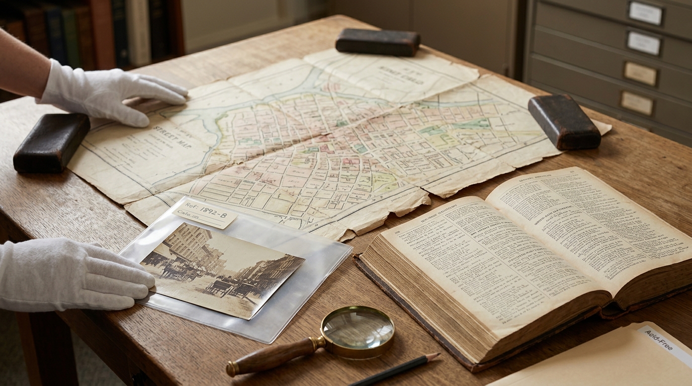
Historic photographs and printed records can turn a familiar street into a research question. What businesses stood along an alignment? How did a block change? A photograph may show a building or sign, but a caption, date, map, or newspaper account is needed to establish what it depicts.
The museum’s Bill Beebe Collection article offers examples of examining Santa Monica photographs through their dates, catalog details, and context. Its guide to maps, yearbooks, and directories explains how records can be used together. For Route 66 research, record what a source says, note its date, and separate observation from interpretation.
Maps can locate an intersection or show how a street layout changed. Directories may identify businesses at particular addresses, and newspapers can add accounts of local events. No single source answers every question, and an absent record does not prove that a business never existed. Strong history is built from clues that support one another.
What the centennial invites us to remember
Route 66’s hundredth anniversary is an opportunity to explore more than a famous road sign. It invites us to ask how transportation shaped local places, how a highway acquired meaning beyond its engineering purpose, and how a city preserves evidence of change. Santa Monica’s story includes an official endpoint at Lincoln and Olympic, a later symbol at the Pier, and changing streets and memories in between.
Whether planning a visit or beginning a history project, start with the map and ask what period it represents. Distinguish original route evidence from later commemorations, then follow the records. A photograph, directory entry, or newspaper page may reveal the people and businesses behind the road. The Pacific makes a fitting backdrop, but the details that explain Route 66’s end are found across the city.
As Santa Monica celebrates Route 66 at 100, the best way to honor the Mother Road is to consider both its physical path and its accumulated meanings. The historic terminus explains where the highway ended. The Pier sign shows why the journey still feels as if it ends at the sea.